Projects |
Historical Vegetation Mapping of the Oldman River Valley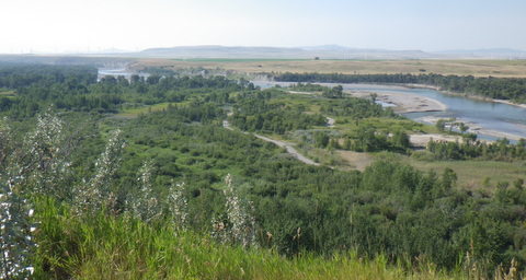
Work CompletedIn 2012 Iris Environmental and Harmony Walker Ltd. contracted Tannas Conservation Services (TCS) to partner in the historical mapping of the Oldman River valley on the Piikani Nation territory. This project was commissioned to determine the long term impact of the Oldman Dam on the river valley ecosystem and allow for appropriate mitigations to be placed. Within this project TCS personnel mapped each unique plant community polygon, completed a detailed field assessment, and assessed the changes in each polygon over the past 60 years. In addition the health of each plant community was assessed and ecological problems were identified. From this assessment Iris, TCS, and its partners were able to determine the impacts of the dam on the river valley. The project complexity involved approximately 1000 polygons that had to be mapped with the previous maps being so poorly completed that they could not be used and paper copies had to be digitized and then updated. These limitations forced the team to complete a significant amount of additional work but still maintain the integrity of the budget. In addition, field access was limited by the access points to the river valley. Within this work the TCS team had to work within the access limitations to fulfill the assessment. While conducting the survey incidental rare species surveys were completed and a detailed assessment of the plant communities and health of them was completed. Historical flooding and condition of each wetland was assessed within the field ground trothing portion of the work.
Piikani Cottonwood Study of the Oldman River Valley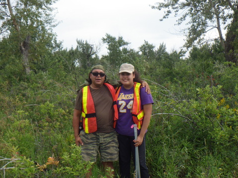
Work CompletedIn 2014 the TCS team followed up on the initial river valley mapping study to complete a study of the cotton wood communities within the Piikani Nation Territory. The project was a repeat of a previous survey where the cotton wood communities were studied upstream and downstream of the weir to determine if there was an ecological impact associated with the weir. This project posed a number of significant challenges including difficult to access locations. No available GIS data on the locations and only rough field maps to find the ground locations. In addition each location required almost 1km of line to be cleared for access so that the cotton wood trees could be assessed. This assessment included measurements of the size, health and age of each cotton wood tree along the designated transect. This information was then statistically analyzed to determine ecological impacts. Challenges in this project revolved around access, data quality, and the difficulty aging cotton wood trees. TCS overcame all of these limitations to provide a high quality final project on budget.
Ephemeral Mapping Project
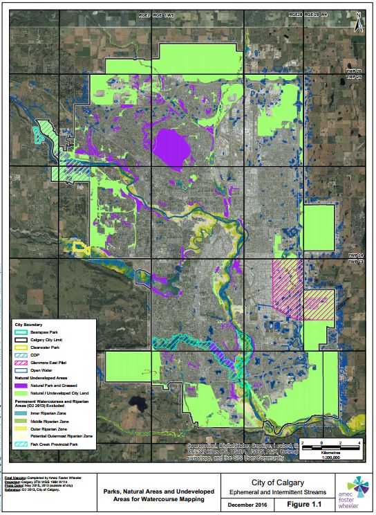
Work CompletedTCS partnered with AMEC Foster Wheeler to provide the city of Calgary with a comprehensive mapping program to identify, delineate and classify each ephemeral and intermittent watercourse within the city limits. In addition to current watercourses an assessment of historical watercourses was additionally undertaken. TCS personnel led the field assessment (soils and vegetation), classification, and writing of the technical report while AMEC provided project management, hydrological analysis, leadership on setbacks, technical writing support and GIS modelling support. This project was completed over a year and has been submitted under budget and on time. Classification of Ephemeral Watercourses: TCS created a methodology to assess ephemeral watercourses based on soil and vegetation indicators allowing for the effective ground truthing of each watercourse to determine the long term permanency of water flow within the stream channel. The technique used was based on the wetland Alberta Wetland classification system and set indicators up for overland flow and temporary flow within ephemearl watercourses. Intermittent watercourses were divided into seasonal and semi-permanent flow. Indicators in vegetation and soil were correlated to each permanency classification in such a way that consistent classification on the ground and in imagery was possible in all habitat types and disturbance regimes. Mappping and Digital Classification: These ground trothed indicators (vegetation species, and soil mottling and gleying) were then associated with visible vegetation indicators within airphoto imagery and over 90 years of imagery, color infrared imagery and a DEM were used to create a model that successfully located each watercourse within the city limits. Once located the imagery was used to correct errors in watercourse alignment and classify each watercourse based on the visible vegetation indicators that determined its permanency. Ground truthing of watercourses occurred with detailed vegetation plots as well as visual confirmation from roads. Reporting: Once mapped a technical discipline report was created outlining the methodology for the assessment and making recommendations on prioritization of watercourses for protection and formulas to determine the appropriate setbacks for each watercourse that would protect ecological diversity, site stability and watercourse integrity into the future. In addition a second policy report was produced to support the technical assessment report and provide guidance on new polices for development of ephemeral watercourses within the city. Roles and Responsibilities of Key Personnel Special Areas Water Supply Project
Work Completed
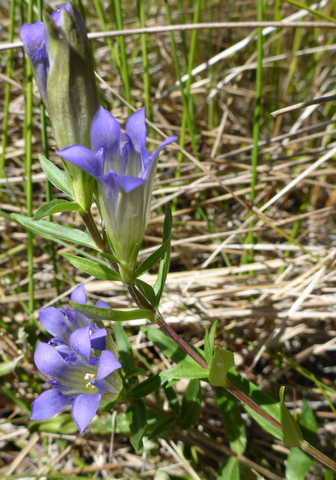
In 2014 TCS was contracted by Klohn Krippen Berger to complete the vegetation, wetland, rare plant surveys and land use portion of the Special Areas Water Supply Project (SAWSP) EIA. The rest of the project (Wildlife, soils, and aquatics) was completed by Klohn Krippen Berger. This EIA is a unique project encompassing ~500km of stream channels in eastern Alberta with two reservoirs, and multiple diversion canals and constructed wetlands making 29 project components and 6 EIA’s. TCS was contracted to complete the vegetation assessment portion of this project. This included: rare plant surveys, plant community assessments, wetland assessments, desktop mapping, associated discipline reports and the 6 vegetation EIA’s for the project. Key Components of the Environmental Assessment Scope of Work:
Discpline Report:The environmental report was submitted in the spring of 2016. All wetlands, upland plant communities and rare species have been mapped as well as land use features. Two complete reports were completed (Vegetation/wetlands and Landuse) by TCS personnel along with all baseline vegetation mapping. The report totalled over 600 pages excluding maps. Environmental Impact Assessment: A 500 page environmental impact assessment was completed for the vegetation/wetland and land use compoents of the EIA by TCS personnel in February 2017. Roles Responsibilities of key Personnel • Steven Tannas PhD. P.Ag.: Rare Plant survey, wetland assessment, vegetation inventory, land use assessment, report writing, mapping Invasive Species Survey of Jasper National Park Highways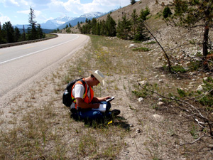
Work Completed:An audit of the invasive species management program on the highways of Jasper National Park was conducted by TCS in 2010. This survey included the survey of 25 5km segments of highway throughout the park. Each species was assessed for cover, density and distribution. The final analysis included an control priority list for each species and segment. In addition the cover of each invasive species throughout the park was quantified and broken down by road segment. More Articles... |


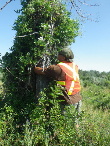
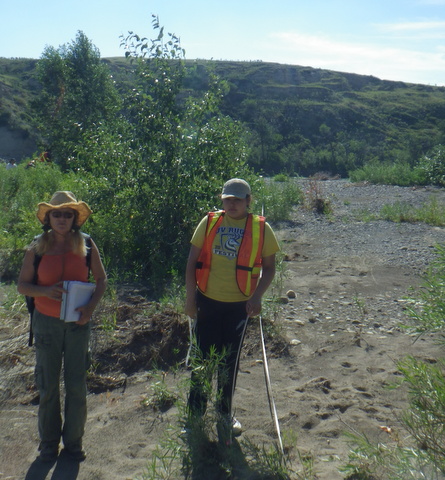 Staff assigned to this project included, Clare Tannas (rangeland ecologist), Kathy Tannas (plant taxonomist), Steven Tannas (rangeland ecologist), Eileen Tannas (plant taxonomist). Steven was responsible for all mapping and historical comparisons between the plant communities over the past 60 years while the rest of the TCS team was responsible for the field assessments to ground truth the plant communities and assess their health.