Projects |
Ephemeral Mapping Project
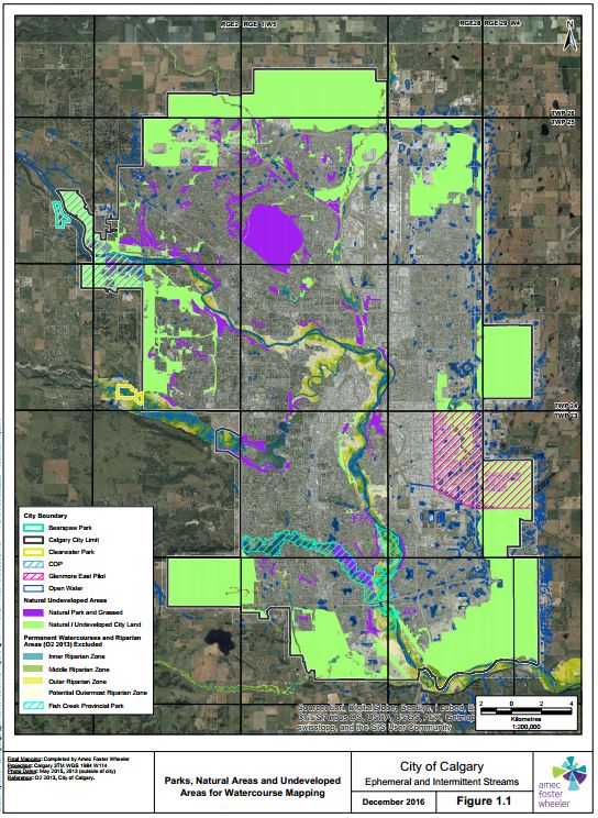
Work CompletedTCS partnered with AMEC Foster Wheeler to provide the city of Calgary with a comprehensive mapping program to identify, delineate and classify each ephemeral and intermittent watercourse within the city limits. In addition to current watercourses an assessment of historical watercourses was additionally undertaken. TCS personnel led the field assessment (soils and vegetation), classification, and writing of the technical report while AMEC provided project management, hydrological analysis, leadership on setbacks, technical writing support and GIS modelling support. This project was completed over a year and has been submitted under budget and on time. Classification of Ephemeral Watercourses: TCS created a methodology to assess ephemeral watercourses based on soil and vegetation indicators allowing for the effective ground truthing of each watercourse to determine the long term permanency of water flow within the stream channel. The technique used was based on the wetland Alberta Wetland classification system and set indicators up for overland flow and temporary flow within ephemearl watercourses. Intermittent watercourses were divided into seasonal and semi-permanent flow. Indicators in vegetation and soil were correlated to each permanency classification in such a way that consistent classification on the ground and in imagery was possible in all habitat types and disturbance regimes. Mappping and Digital Classification: These ground trothed indicators (vegetation species, and soil mottling and gleying) were then associated with visible vegetation indicators within airphoto imagery and over 90 years of imagery, color infrared imagery and a DEM were used to create a model that successfully located each watercourse within the city limits. Once located the imagery was used to correct errors in watercourse alignment and classify each watercourse based on the visible vegetation indicators that determined its permanency. Ground truthing of watercourses occurred with detailed vegetation plots as well as visual confirmation from roads. Reporting: Once mapped a technical discipline report was created outlining the methodology for the assessment and making recommendations on prioritization of watercourses for protection and formulas to determine the appropriate setbacks for each watercourse that would protect ecological diversity, site stability and watercourse integrity into the future. In addition a second policy report was produced to support the technical assessment report and provide guidance on new polices for development of ephemeral watercourses within the city. Roles and Responsibilities of Key Personnel |


